 MOKET
Moket / Ride dashboard & records
Your ride, at a glance
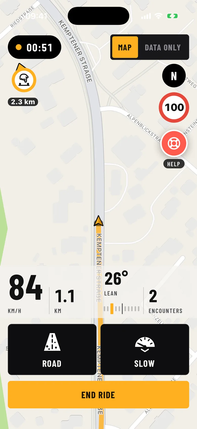
Moket runs next to your maps app during the ride. Big, clear numbers you can read with a helmet on, and at the end a summary of your ride.
During the ride
- Large speed display and lean angle.
- Ride time, distance and top speed.
- Road alerts from other riders, for example a hazard on the road. Alerts are anonymous and expire after a few hours.
- Navigation stays with your usual maps app: Moket has no built-in sat nav.
After the ride
A summary with a map of your ride, kilometres, time and the encounters you had. The map is for you only.
Records and medals
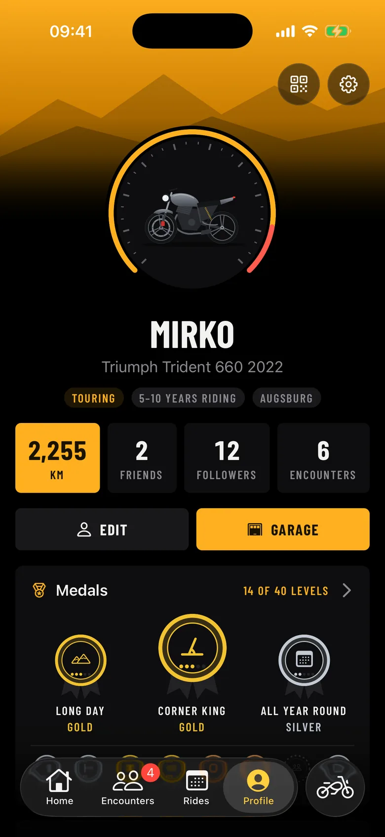
- Top speed and maximum lean angle are saved as records on your profile.
- Share your records as an image, without any place in it.
- Medals in eight families with five levels each: kilometres, rides, lean angle, longest ride, riding hours, encounters, group rides and months on the road.
Questions
Does Moket replace my sat nav?
No. Moket has no built-in navigation. Use your maps app for the route; Moket runs alongside it.
Does Moket measure lean angle?
Yes. Moket shows the lean angle during the ride and saves your maximum as a record.
Are medals based on speed?
No. On purpose there is no speed medal: medals reward kilometres, rides, lean angle, riding time, encounters and group rides.
Moket is on its way
Coming soon to Google Play and the App Store. Want to test it already? Join our WhatsApp community.
- Coming soonGoogle Play
- Coming soonApp Store